Forum 360: Monitoring Planet Earth 25 January 2023 1000 - 1130
Remote sensing is defined by the U.S. Geological Survey as the process of detecting and monitoring the physical characteristics of an area by measuring its reflected and emitted radiation at a distance, typically from satellite or aircraft. Recent acceleration of technologies and processes has enabled the use of remote sensing to map wildfires, track the effects of climate change, and monitor conflicts. Hear from the science and engineering community on successful applications of remote sensing and the challenges involved to monitor planet Earth.
Moderator
-
 Al Tadros
Chief Technology Officer, Redwire Space
Panelists
-
 John Choi
Director, Special Purpose UAS Quick Reaction Capability, Special Programs, General Atomics Aeronautical Systems
 -
 Marcus Johnson
Research Aerospace Engineer, NASA Ames Research Center
 -
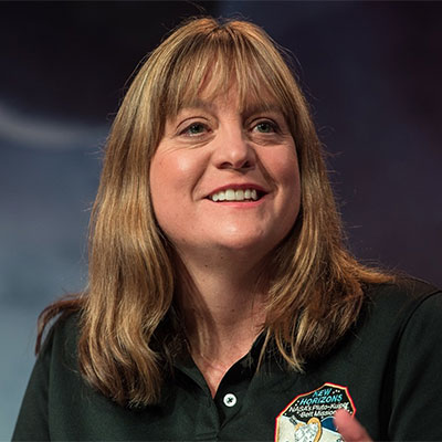
 Cathy Olkin
Principal Scientist, Muon Space
 -
 Julie Robinson
Deputy Director, Earth Science, NASA
 -
 Rob Stevens
Director, Model Based Systems Engineering Office, The Aerospace Corporation
 -
 Barry Tilton
Technology Evangelist, Maxar Technologies
